Now Available
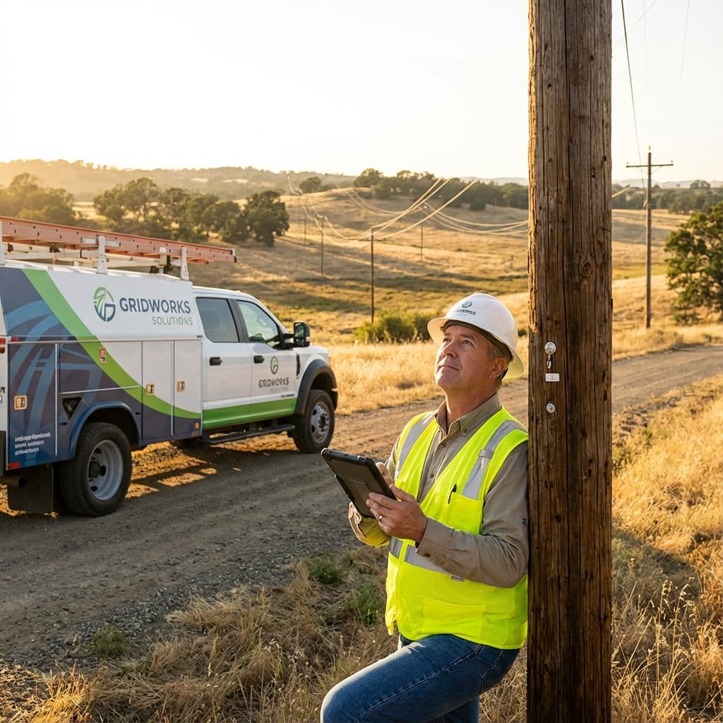
Manage field inspections
across all your clients.
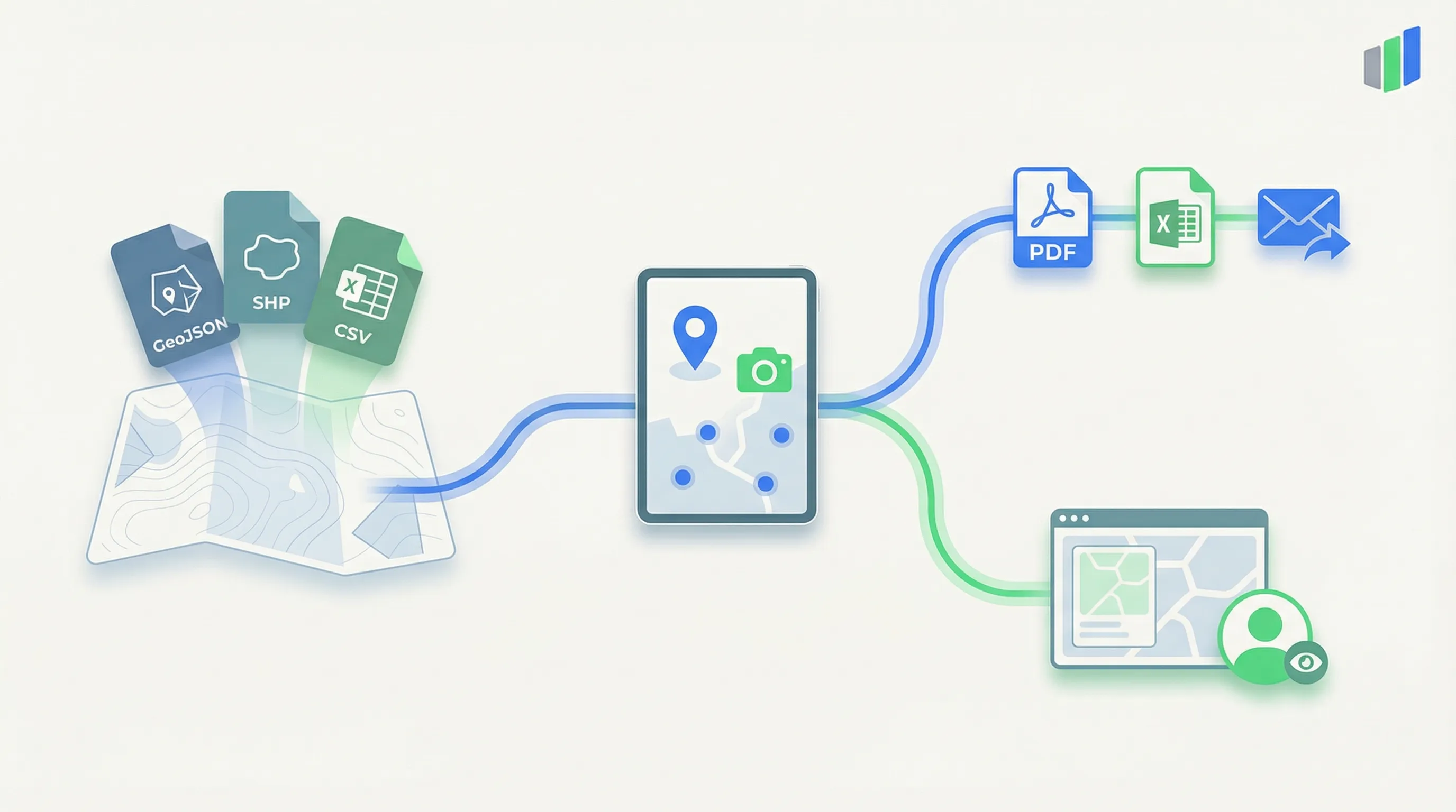
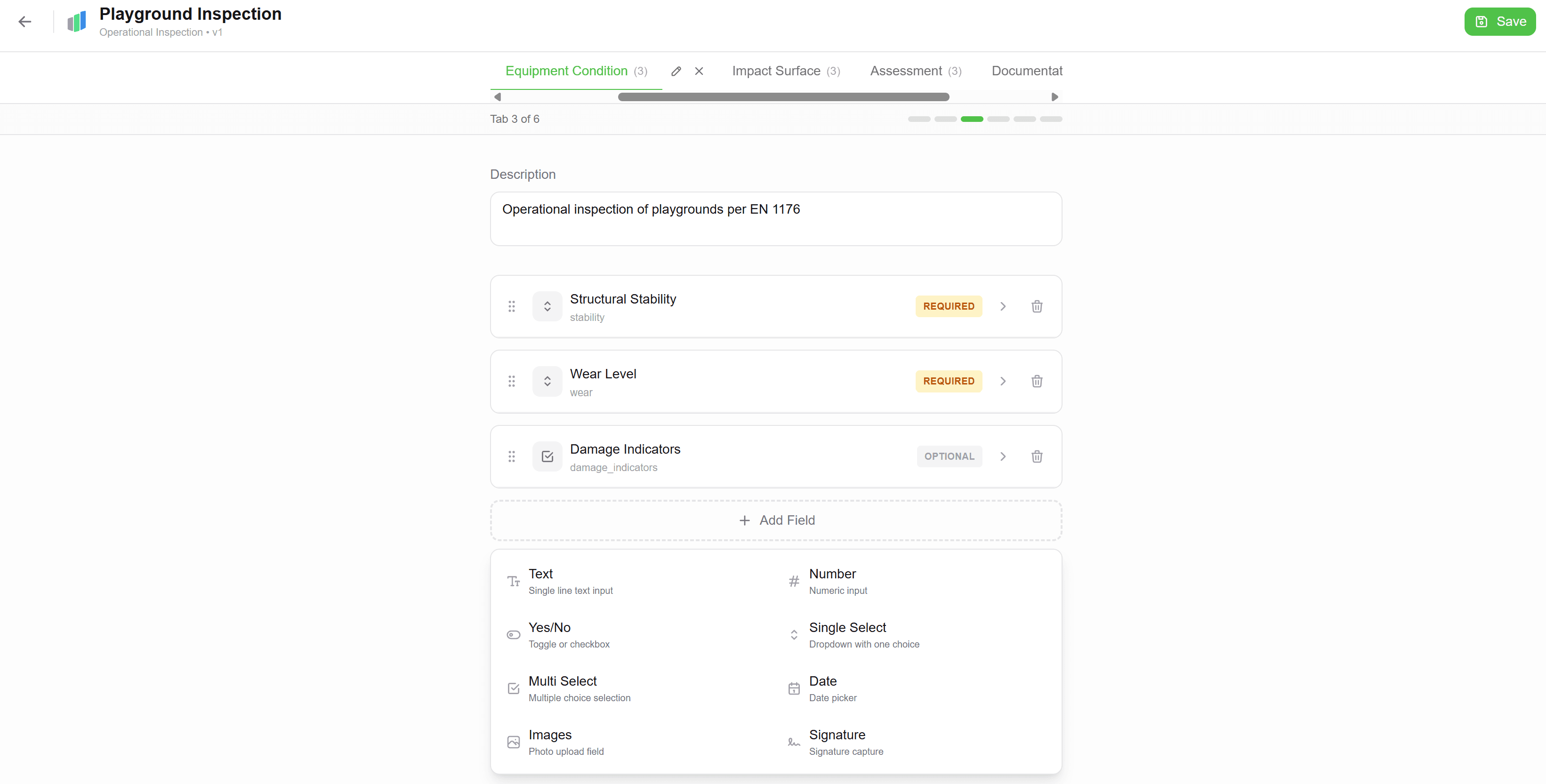
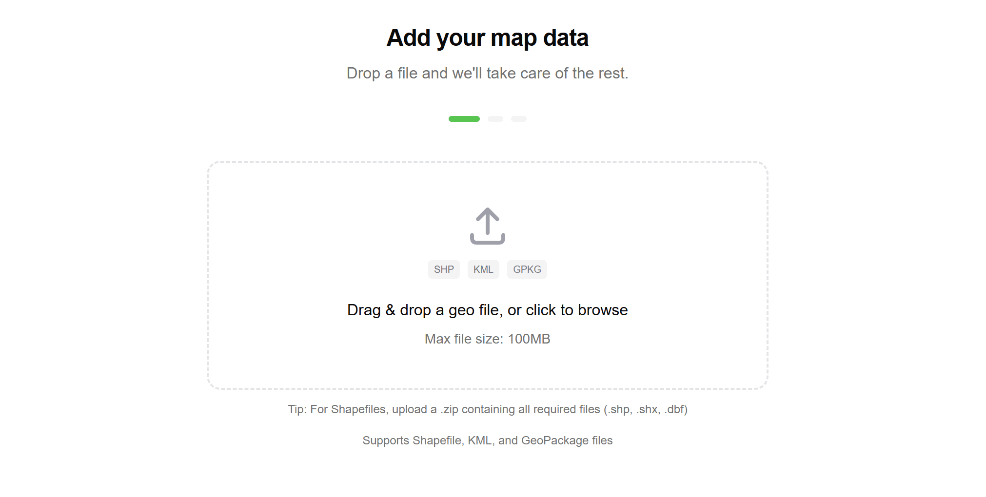
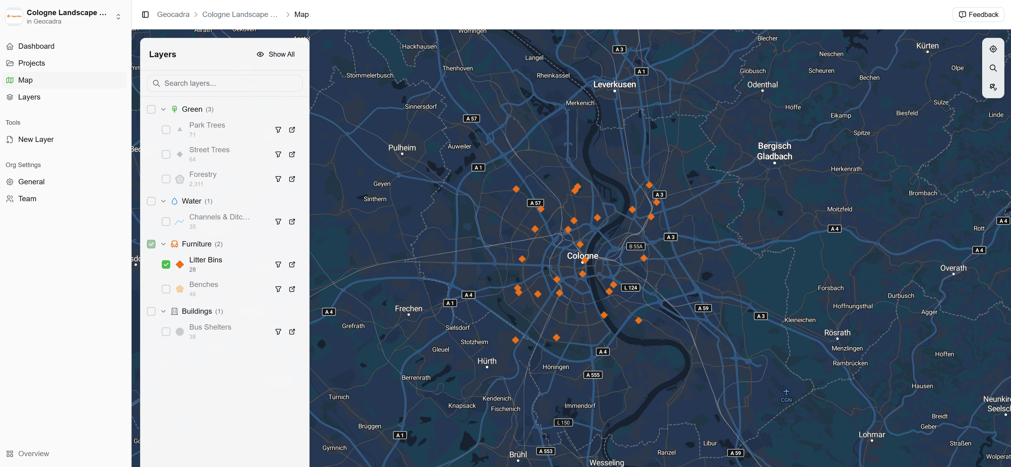
Manage field inspections across all your clients from a single workspace. Separate projects, custom forms, professional exports—delivered in hours, not days.
No GIS expertise needed
Multi-client ready
Unlimited users
No credit card required · Free trial included
GDPR Compliant · EU Hosted · No credit card required
app.geocadra.com
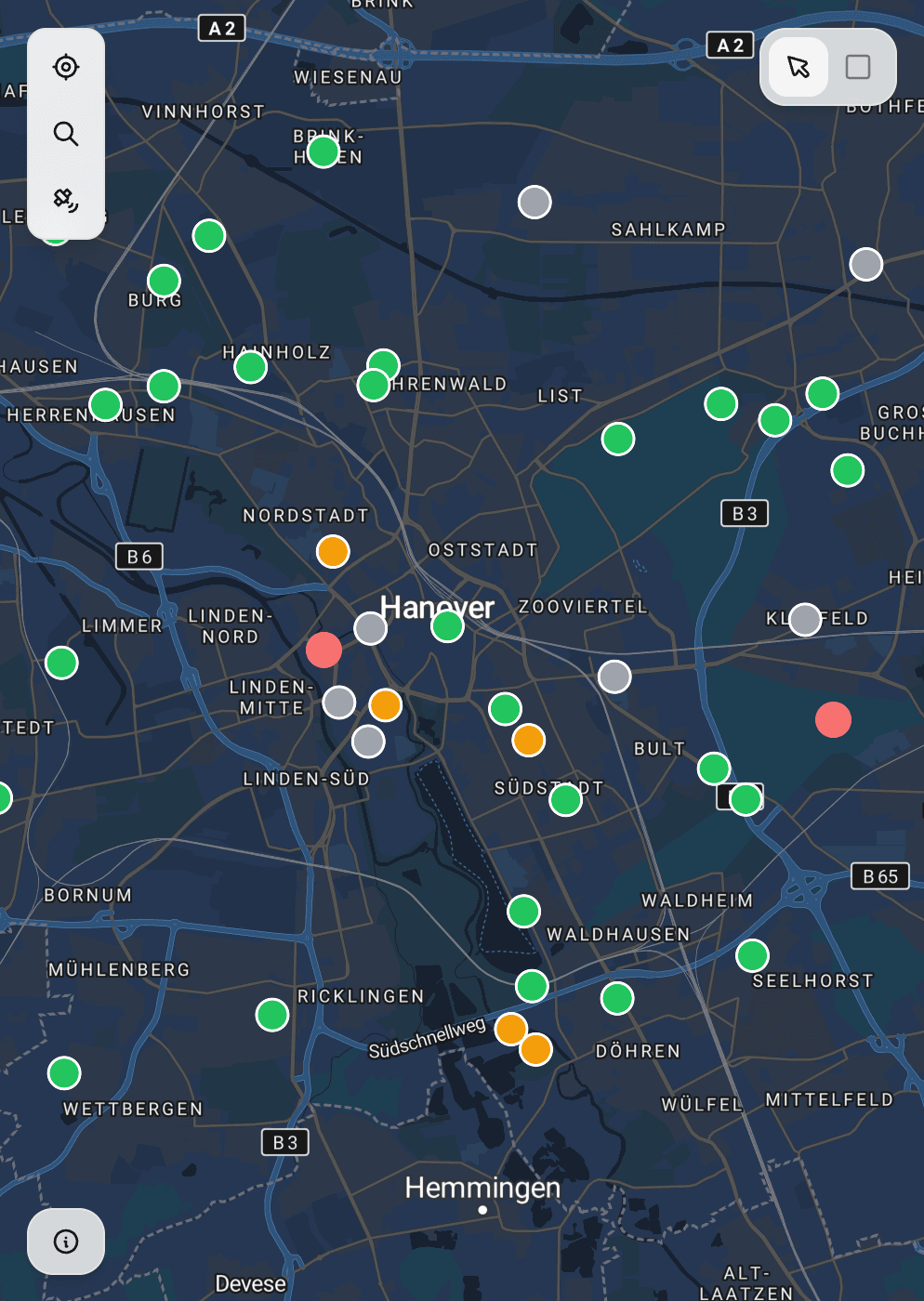
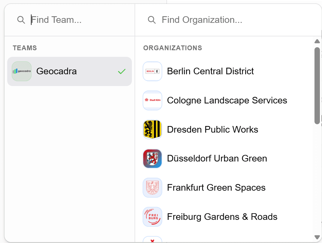
Multi-Client Ready